Size of this preview: 800 × 351 pixels. Other resolution: 1,425 × 625 pixels.
Original file (1,425 × 625 pixels, file size: 76 KB, MIME type: image/png)
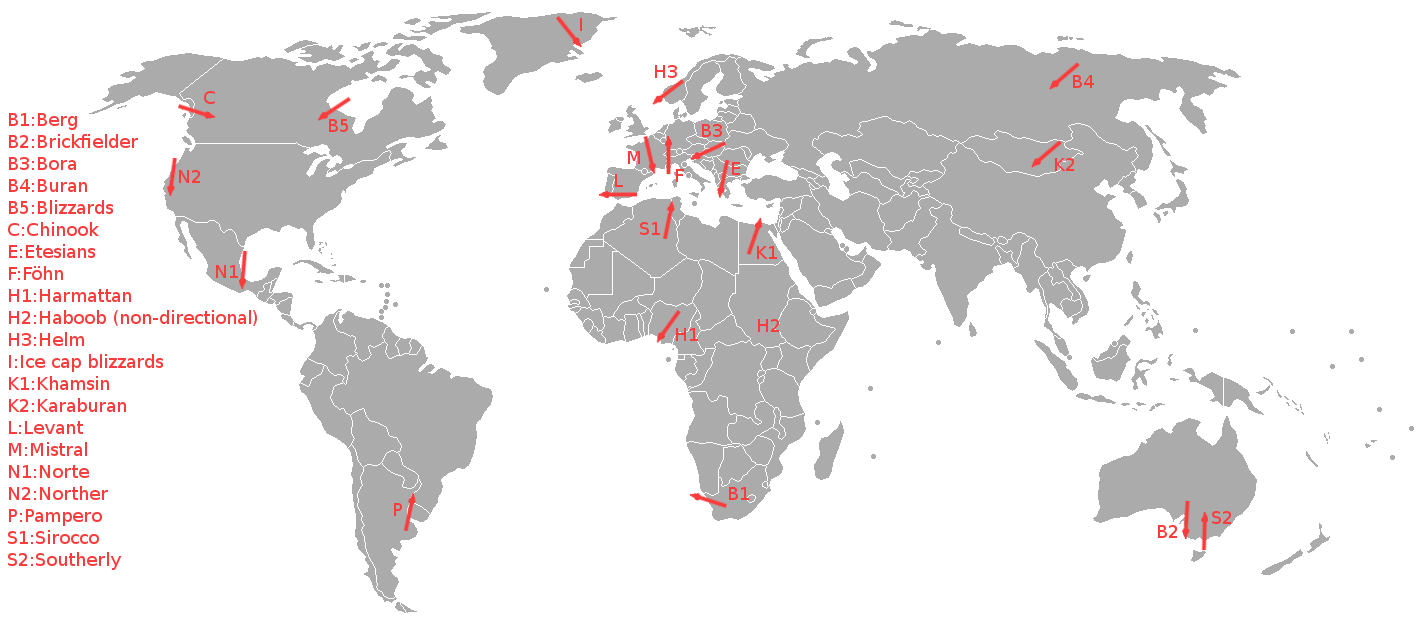
A schematic showing the local winds. The map was based on an image from the book "Wereldwijzer" by Marshall Cavendish.
File history
Click on a date/time to view the file as it appeared at that time.
| Date/Time | Thumbnail | Dimensions | User | Comment | |
|---|---|---|---|---|---|
| current | 08:45, 6 June 2011 | | 1,425 × 625 (76 KB) | KVDP (talk | contribs) | A schematic showing the local winds. The map was based on an image from the book "Wereldwijzer" by Marshall Cavendish. |
You cannot overwrite this file.
File usage
The following file is a duplicate of this file (more details):
- File:Map local winds.png from Wikimedia Commons
The following page uses this file: