
Size of this preview: 800 × 407 pixels. Other resolutions: 320 × 163 pixels | 640 × 326 pixels | 1,024 × 521 pixels | 1,280 × 651 pixels | 2,759 × 1,404 pixels.
Original file (2,759 × 1,404 pixels, file size: 70 KB, MIME type: image/png)
Summary
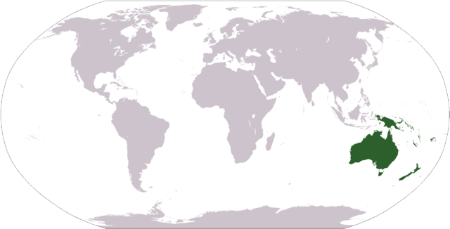
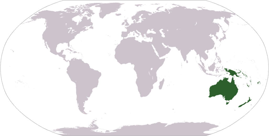
English: World map depicting Australasia; differs from maps for Commonwealth of Australia and Australian continent
Map includes Australia (including Tasmania and Torres Strait Islands); New Zealand; and Melanesia: New Guinea, eastern Aru Islands (as delineated by Lydekker Line), and mainland provinces of Papua New Guinea, Fiji, New Caledonia, Solomon Islands, and Vanuatu.
Map adapted from PDF world map at CIA World Fact BookLicensing
This image is in the public domain because it contains materials that originally came from the United States Central Intelligence Agency's World Factbook.
|
 |
File history
Click on a date/time to view the file as it appeared at that time.
| Date/Time | Thumbnail | Dimensions | User | Comment | |
|---|---|---|---|---|---|
| current | 19:23, 9 November 2008 | | 2,759 × 1,404 (70 KB) | wikimediacommons>Ksiom | Transparency |
File usage
The following page uses this file: