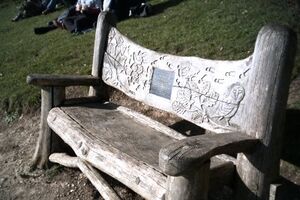
This article is an offshoot of Malling community action focusing on community resources and assets. Resources in the introductory article such as networks, events and community involvement (people and relationships) can be considered as primary resources. Also resources are the activism and physical assets (or what citizens value), such as green spaces, biodiversity, cycle lanes, etc, from other Malling community pages.

Food activism[edit | edit source]
Communigrow is a charity committed to promoting and teaching the benefits for people and local communities of growing local, fresh and affordable produce in an organic and sustainable way.
Reduce, reuse, repair and recycle[edit | edit source]
- Malling and District Repair Cafe, Bin it? No way! added 15:29, 27 September 2022 (UTC)
Community resources[edit | edit source]
- Assets of community value listed for Tonbridge and Malling Borough Council on plunkett.force.com/keepitinthecommunity, added 18:12, 20 February 2022 (UTC)
- East Malling Centre, on facebook.com, added 10:43, 25 August 2021 (UTC)
Arts, sport and culture[edit | edit source]

- West Malling Community Choir, a friendly and inclusive local choir
- Malling parkrun, takes place at Leybourne Lakes Country Park, Larkfield
- Sofa to Saddle, local (West Malling) cycling group aiming to make cycling accessible to everyone. Regular local social and club rides.
Health and wellbeing[edit | edit source]
- Right to Know, Learn about the systemic and environmental trends that could be impacting your health. right-to-know.org, enter your postcode for local results, added 10:26, 18 January 2022 (UTC)
- West Malling Wellbeing Index, communitywellbeing.coop.co.uk
- West Malling Group Practice, includes maps of locations but disappointingly, unable to find related public transport information on the site Philralph (talk) 08:14, 8 January 2019 (PST)
Citizens data initiative[edit | edit source]
- Thriving Places Index, Tonbridge and Malling, 2020 summary scores, thrivingplacesindex.org added 17:53, 19 March 2020 (UTC)
- Automatic search suggestions for TheyWorkForYou, FixMyStreet, and WriteToThem, when you enter your postcode on www.mysociety.org. eg mysociety.org
- Census data 2011, use drill down menus for ward and Census Output Areas
- West Malling Poverty and Index of Multiple Deprivation data from the Church Urban Fund
- Search all grants, Tonbridge and Malling, The National Lottery Community Fund
Maps[edit | edit source]
Poverty Map from the Church Urban Fund. (Enter location eg 'West Malling, Egland', then zoom out to see whole and neighbouring parishes)
See also[edit | edit source]
- Topic overview: Community resources, Citizens data initiative, Maps for community action
- UK context: Community resources UK, Citizens data initiative UK